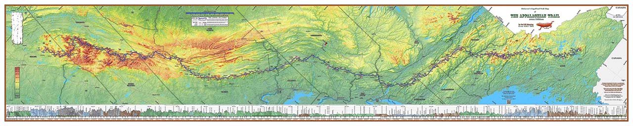
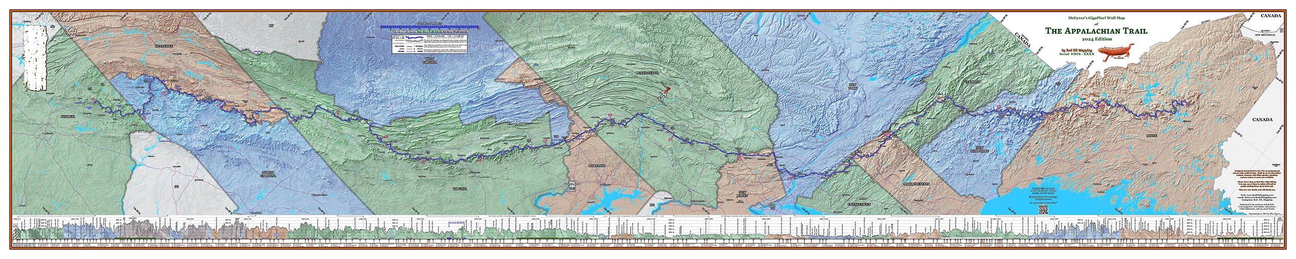


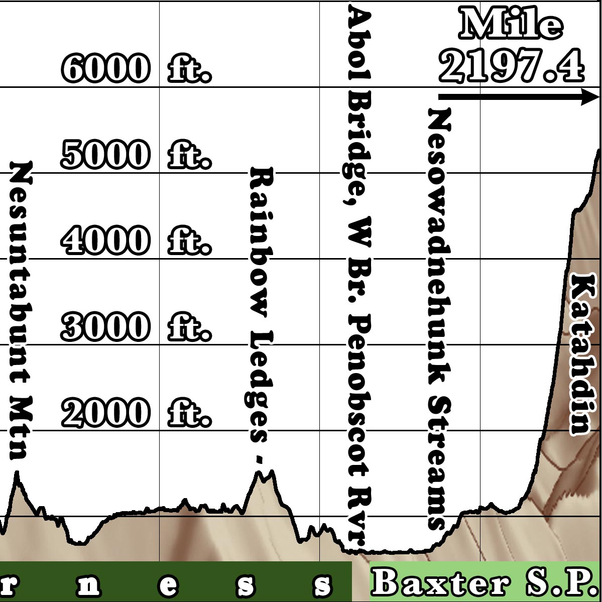
This is our 2025 Appalachian Trail map, with mileages conforming to the 2025 edition of the A. T. Guide and Appalachian Trail Data Book (2197.4 miles), all operating 2025 official AT shelters, and an elevation profile of the entire trail, as well as cautionary notes on Helene-damaged sections.
This version has a background with the states individually colored, and detailed hillshading to show topography.
The map is 10 feet wide by 2 feet tall, and is designed to be mounted horizontally. It is printed on professional canvas with non-fade archival inks (but not designed to be mounted outdoors).
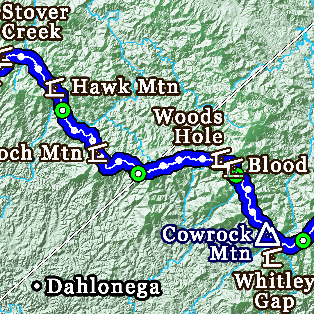
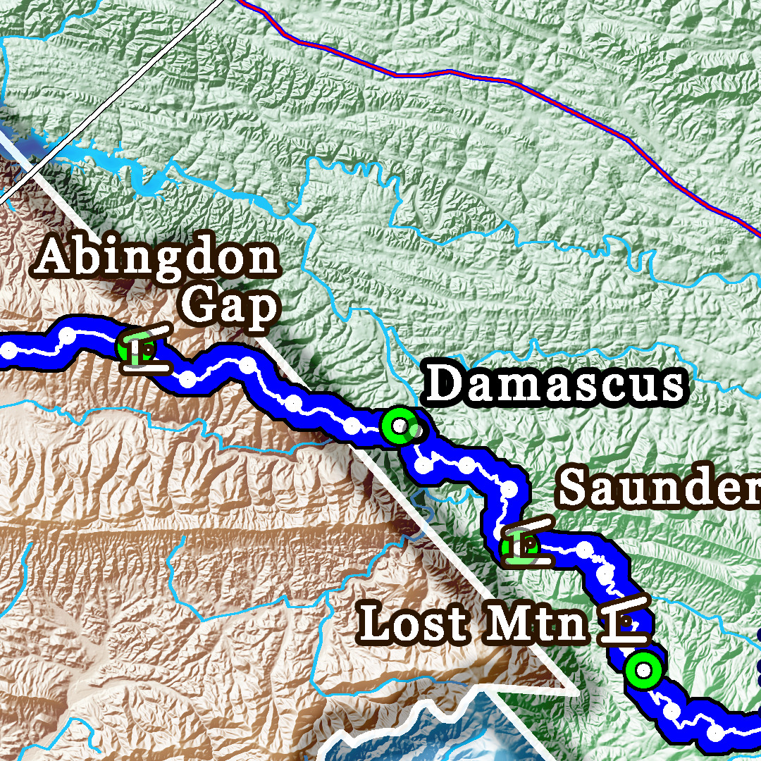
Move the mouse in the images to see more detail, or click on the magnifying glass to see a larger image.